GeoTIFF layer - Mapp Widget
I would like to submit a feature request to enable adding a Geo-TIFF (e.g. with tiles) layer to the map widget.
The reason for this is simple:
Precision tracking requires precision maps. The current satelite layer is for many locations at least 2 years outdated. Since the Map widget already has the ability to add GeoJSON layers, it is the next logical step.
Lets discuss a potential use case to illustrate this feature request:
1. The Farmer wants to accurarely track their equipment as it moves trough their farm. The current base layer lacks enough detail to be able to do this;
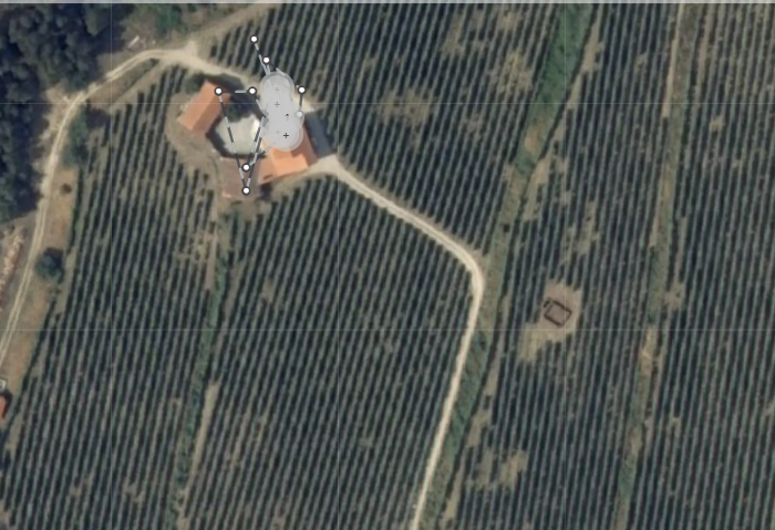
2. After a few drone flights and photogrammetry magic one is able to obtain a much more detailed map that DOES allow the farmer to track their assets with more detail, for example, know exactly which lines in the vineyard have been taken.
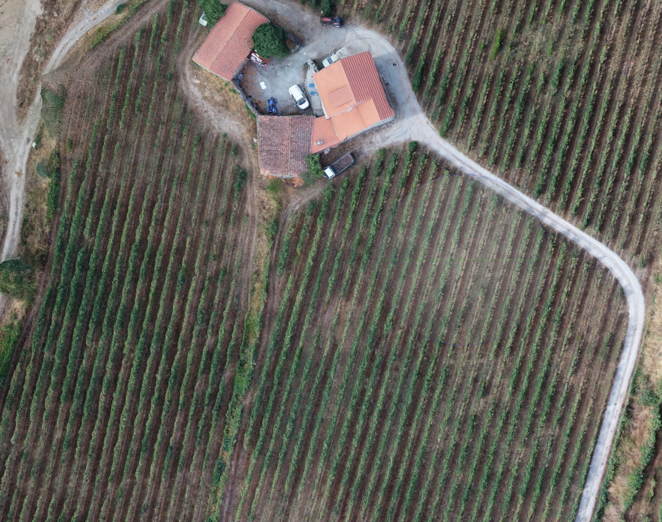
There is however no way to import these detailed maps into TagoIO at the momento.
Adding this functionality will enable a level of precision and detail across the IoT spectrum of applications that was not possible before.
Topic Participants
Meije Sibbel
Phil Gutierre